[ Home :
Programs
|
libCVD
|
Hardware hacks
|
Publications
|
Teaching
|
TooN
|
Research
]
Tracking vehicles from aerial footage
Papers
Links
Description
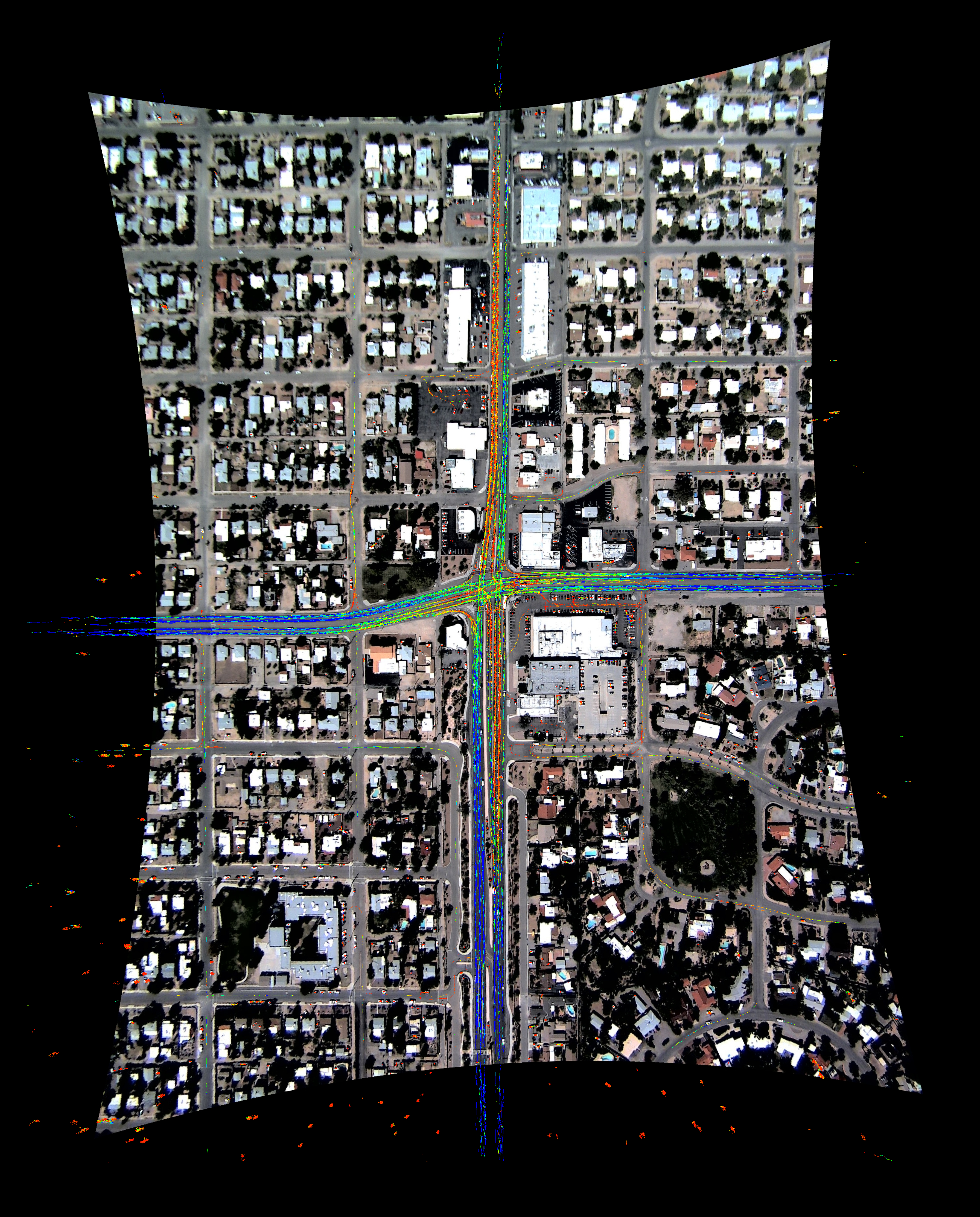
Tracking cars from aerial footage requires a number of steps described in the papers:
- Acquisition of imagery (for example from a helicopter)
- Distortion correction, registration and stabilisation of imagery
- Detection and tracking of cars
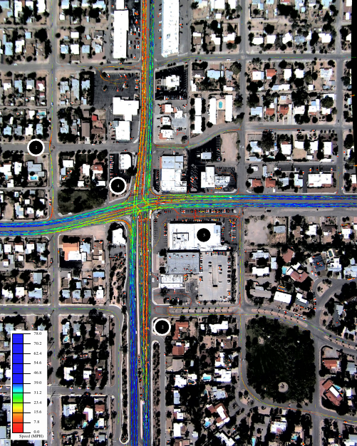
Once even primitive tracking has been performed (for example extracting 3 frame
tracklets), a model of the city can be found which describes how cars move.
These are represented as velocity histograms at every point and can be easily
visualised using the modal speed and direction.
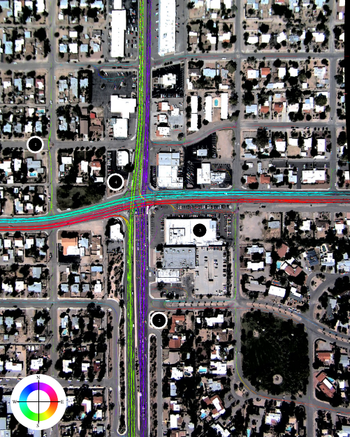
 Interesting points:
- Cars usually approach a traffic constriction, brake hard, then accelerate
to full speed for a short distance before braking hard at the end of the road.
- Many U-turns after it becomes apparent that left turns cannot be made.
- Several cars use the parking lot to avoid the traffic lights.
- Modal east-west traffic speed through the junction is slower than the
nearby road, indicating possible hazards.
Updated September 20th 2012, 08:09

 Interesting points: